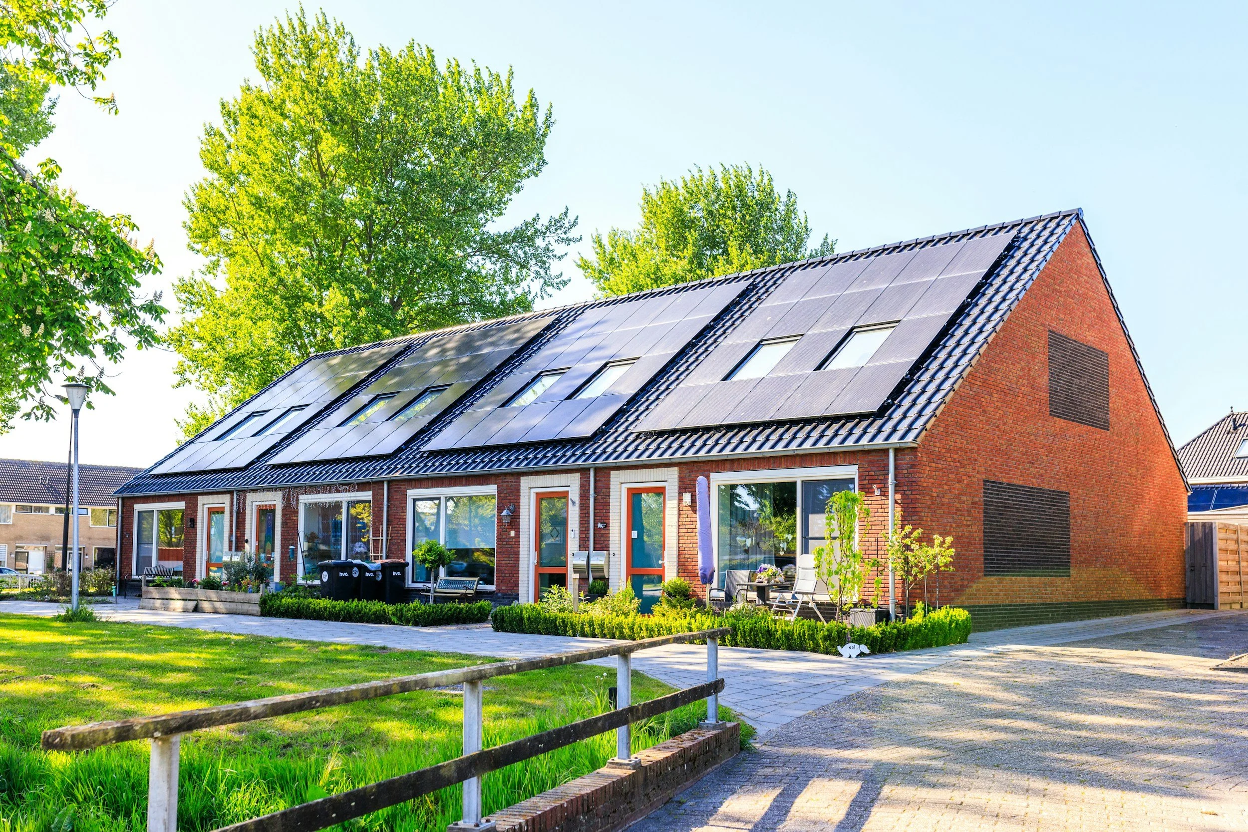
Field Data Collection & Reality Capture Across the Midwest
Altura Midwest provides solar site assessments, drone mapping, photogrammetry, and field documentation services to support solar engineering, construction, and infrastructure projects.
What We Do
Comprehensive site documentation supporting residential and commercial solar design.
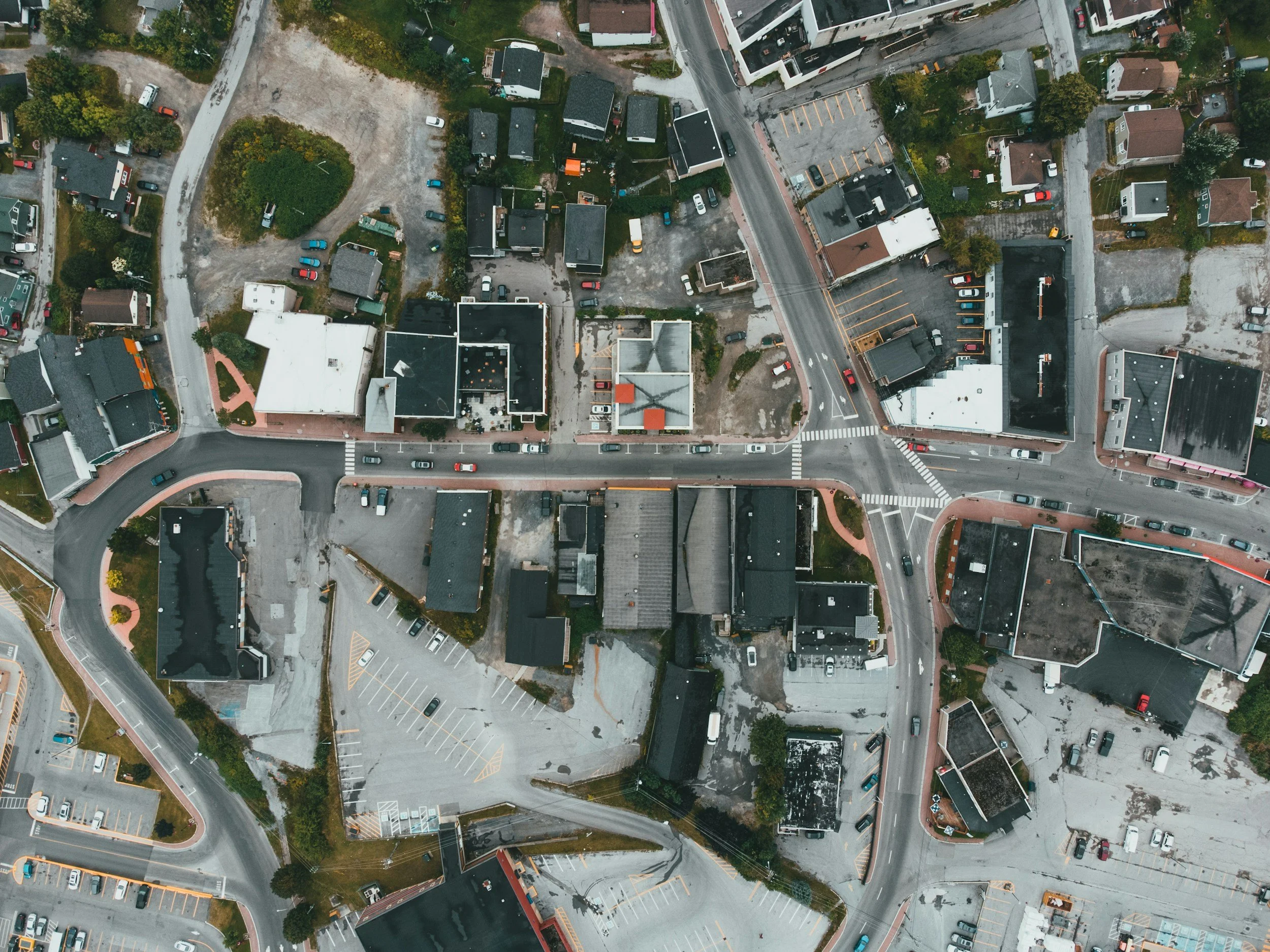
Orthomosaics, aerial imagery, and mapping for engineering and construction.
Accurate digital models, point clouds, and measurable datasets created using industry-standard workflows.
Scheduled drone flights and reporting to document projects from groundbreaking through completion.